Lesson 9.03 – Geologic & Topographic Maps
Standard: IE1.h Read and interpret topographic and geologic maps.
INTRODUCTION
In this lesson you will learn what a geologic map is and what it’s used for. You will also learn what topographic maps are. (Refer to Chapter 1 Section 3 pages 14-15.)
INSTRUCTION
What is a Geologic Map?
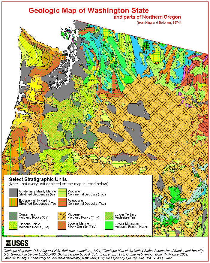
 Geologic maps are not like other maps. Geologic maps, like all maps, are designed to show where things are. But, whereas the maps we know best show the distribution of roads or rivers or county boundaries, a geologic map shows the distribution of geologic features, including different kinds of rocks and faults (cracks in the earth’s crust). A geologic map is usually printed on top of a regular map (called a base map) to help you locate yourself on the map. The base map is printed with light colors, so it doesn’t interfere with seeing the geologic features on the map. The geology is represented by colors, lines, and special symbols unique to geologic maps. Understanding these features will allow you to understand much of the geology shown in almost any standard geologic map.
Although the geology of every area is different, all geologic maps have several features in common: colored areas and letter symbols to represent the kind of rock unit at the surface in any given area, lines to show the type and location of contacts and faults, and strike and dip symbols to show which way layers are tilted. The geology of an area has a profound effect on many things, from the likelihood of landslides, to the availability of groundwater in wells, from the amount of shaking suffered in an earthquake, to the presence of desirable minerals, from the way the landscape is shaped to the kinds of plants that grow best there. Understanding the earth underneath is the first step in understanding the world around us. So what’s the geology like in your neighborhood? If you can read a geologic map you can probably find out!
WHAT IS A TOPOGRAPHIC MAP?
A topographic map is a map that shows topography and features found on the earth's surface. Like any map it uses symbols to represent these features. Lets look a section of a topographic map showing the area around Spruce Knob in West Virginia. Spruce Knob is the highest point in West Virginia and, weather permitting, an occasional stop on the Historical Geology (GY 115) field trip.
 This section of a topographic map illustrates many of the common symbols used on topo maps. The map is repeated below with many of these symbols labeled.

Some of the more common and important topographic map symbols have been pointed out by the purple arrows. More details are given in the text below.
MAP SYMBOLS
First lets recognize that map symbols are color coded. Symbols in green indicate vegetation, symbols in blue represent water, brown is used for topographic symbols, man made features are shown in black or red. Lets look at the symbols labeled in the map above:
Contour Lines
Contour lines are lines that indicate elevation. These are the lines that show the topography on the map. Contour lines are shown in brown. Two types of contour lines are shown. Regular contour lines are the thinner brown lines, index contour lines are the thicker brown lines. The numbers written in brown along the contour lines indicate elevation of the line. For this map elevation is in feet above sea level.
PRACTICE
1. Take notes on the above information.
2. Click here (http://www.teachersdomain.org/asset/ess05_int_vistopo/) to view an interactive activity using topographic maps. Try out all 3 (hill, valley and cliff)
ASSESSMENT
1. Turn in your notes.
2. Take the Lesson 9.03 quiz in Quia.
Comments (0)
You don't have permission to comment on this page.